El Niño and the 1.5°C Threshold: Is the Pacific About to Push Us Over the Edge?
Introduction: The Pacific’s Climate Influence
The Pacific Ocean acts as a vast climate engine, regulating weather patterns across the globe. Its warm waters fuel storms, guide fisheries, and determine rainfall from South America to Southeast Asia. Scientists are now closely monitoring signs that this engine is revving up once more—potentially triggering a powerful El Niño event that could push the planet past a critical climate boundary.
Recent data and modeling suggest that the tropical Pacific is moving toward a robust El Niño phase within the next 12 to 18 months. This natural oscillation, known as the El Niño-Southern Oscillation (ENSO), can significantly intensify and shift global climate impacts. In a world already experiencing record-breaking heat due to greenhouse gas emissions, a strong El Niño could act as a catalyst, permanently elevating the Earth’s average annual temperature beyond the 1.5°C warming benchmark—a threshold that scientists and policymakers have identified as a point of no return for severe, irreversible climate consequences.
How El Niño Works: The Ocean-Atmosphere Dance
El Niño is the warm phase of ENSO, characterized by unusually warm sea surface temperatures in the central and eastern equatorial Pacific. This disrupts normal trade winds and alters atmospheric circulation, leading to cascading effects on weather systems worldwide. During El Niño, regions that are typically dry may experience heavy rainfall, while normally wet areas face drought. The phenomenon also weakens upwelling, reducing nutrient availability for marine life and impacting fisheries.
Current Signals of a Strong Event
Oceanic and atmospheric indicators are aligning. Sea surface temperatures in the Niño 3.4 region—a key monitoring zone—have been rising steadily above average. Furthermore, shifts in wind patterns and a buildup of heat in the western Pacific suggest a significant El Niño may develop. The Australian Bureau of Meteorology and the U.S. Climate Prediction Center have both issued alerts, raising the probability of an event occurring later in 2024.
Global Consequences of a Supercharged El Niño
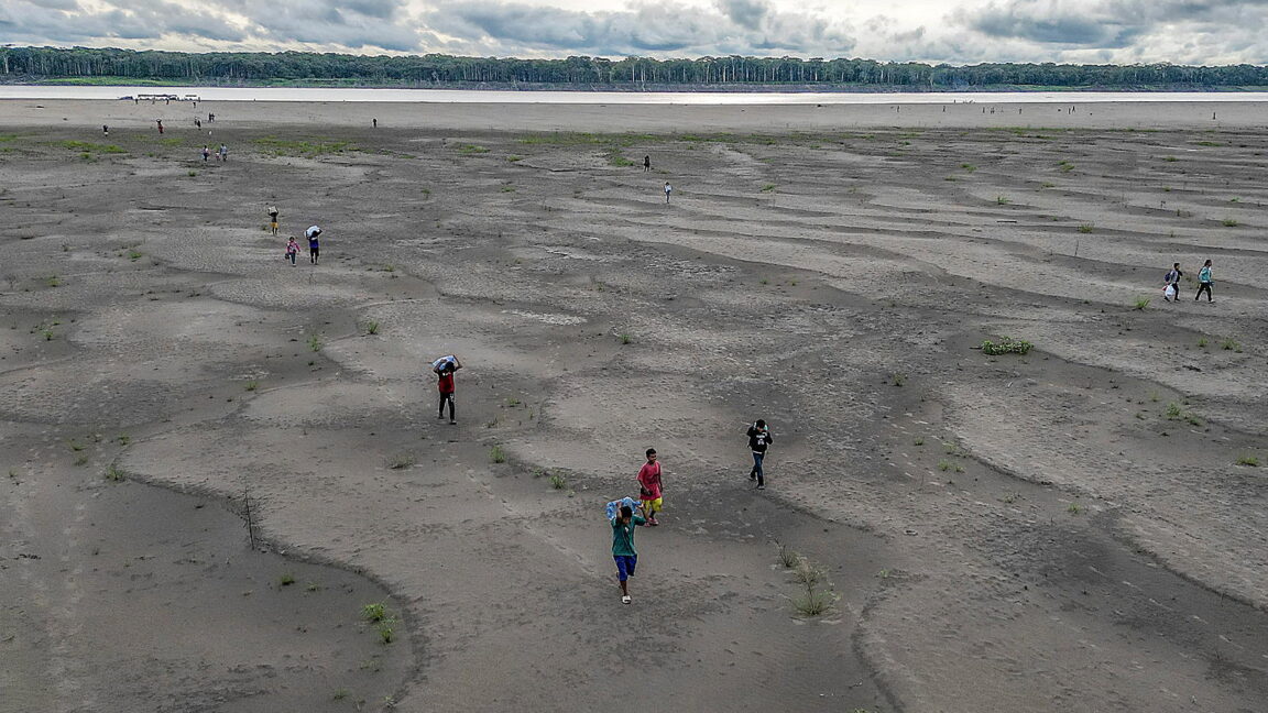
A strong El Niño can exacerbate existing climate extremes. For example, it increases the likelihood of heatwaves, floods, and cyclones in specific regions. During the 2015–16 El Niño—one of the strongest on record—global temperatures spiked, causing widespread coral bleaching, crop failures, and humanitarian crises. Should the upcoming event rival or exceed that intensity, the added warmth from human-caused climate change could amplify these impacts considerably.
Pushing Past 1.5°C: A Tipping Point
The Paris Agreement set a target to limit global warming to well below 2°C above pre-industrial levels, with an aspirational goal of 1.5°C. While the planet has already warmed about 1.2°C, a strong El Niño could temporarily push the annual average above 1.5°C. More alarmingly, sustained greenhouse gas emissions mean that such a breach could become permanent within the next few years. Crossing this threshold increases the risk of losing Arctic sea ice, destabilizing ice sheets, and triggering feedback loops that accelerate warming.
According to the Intergovernmental Panel on Climate Change (IPCC), overshooting 1.5°C—even temporarily—could lock in long-term damage, such as the collapse of the Amazon rainforest or the irreversible melting of Greenland’s ice. Therefore, the upcoming El Niño is not just a short-term weather event; it may serve as a harbinger of a more volatile climate regime.
How Scientists Are Tracking the Event
Researchers employ a suite of tools to monitor ENSO developments, including satellite altimetry, buoy arrays like the Tropical Atmosphere Ocean (TAO) network, and advanced climate models. These systems provide real-time data on sea surface temperatures, wind stress, and ocean heat content. The World Meteorological Organization (WMO) coordinates international efforts to predict and communicate El Niño risks. By comparing current observations with historical events, scientists can improve forecast accuracy and help communities prepare.
What This Means for Policy and Adaptation
Governments and organizations are urged to ramp up disaster preparedness and climate adaptation strategies. Early warning systems for floods and droughts, resilient agricultural practices, and water management plans are critical. Additionally, the potential of crossing the 1.5°C threshold underscores the urgency of rapid decarbonization. Every fraction of a degree matters, and the next El Niño could serve as a wake-up call to accelerate emissions reductions.
Conclusion: A Critical Moment for the Climate
The Pacific Ocean’s heat engine is on the verge of a powerful El Niño that may temporarily—or permanently—push global temperatures above the 1.5°C mark. While ENSO is a natural cycle, its effects are now superimposed on a rapidly warming world. This convergence demands heightened attention and action. The coming months will reveal whether we can mitigate the worst impacts or if we are indeed approaching a tipping point we cannot reverse.